Tag Archives: bicycle touring

20130504_1402_DSC_1546-reduced30

Day 14: Poysdorf, Austria to Vienna, Austria


View Larger Map

Start: Poysdorf, Czech Republic
End: Vienna, Austria
Distance: 86.6km
Elevation Gain: 1916ft
Elevation Loss: 1993ft
Time: 6h31m
Reading Material: A History of the Jews – Paul Johnson; Attempting Normal – Marc Maron
Audio Material: Sound Opinions, Planet Money (lots of “is Economics a science?” discussion after the Reinhart/Rogoff Excel error)

Description
Arrived in Vienna a bit ahead of schedule. This last section follows EuroVelo Route 9 into Wien, a section I might repeat in reverse when heading to Brno and then Poland.

The last ~20km was spent tackling the sprawl of Northeast Vienna. Pretty much a straightshot, but the drab cityscape goes on for a long time before the Vienna you remember from covers of philosophy textbooks appears. All sources indicated that Vienna would be a bike-friendly town. And, indeed, there are dedicated bike lanes on many roads. However, they also end unexpectedly with poor signage and occasional misplaced curbs.

One positive aspect of this bike lane confusion is that I had my first opportunity of the trip to exchange the universally understood bicycle/motorist salute: the raised middle finger. Like Prague, Boston and many other elder cities, Vienna is built along a river. However, unlike those other cities, the main bridges over the Danube River do not have bike or pedestrian lanes. I was following what I thought was a bicycle lane over the 4-lane wide Gürtelbrücke bridge. The lane ended and I was forced onto the roadway. Two hundred meters or so later, a sidewalk appeared but with constant traffic, a fully loaded bicycle and high curb to navigate, I deemed it safer to continue pedaling with traffic over the bridge. A woman two lanes over leaned her head out of the passenger window and yelled at me. She was a good 10 car lengths ahead by the time I flipped the bird but luckily I was acknowledged with the reply. I couldn’t think of a more fitting way to be welcomed to Vienna after two weeks of bicycling from Berlin.

20130504_2031_DSC_1550-reduced30

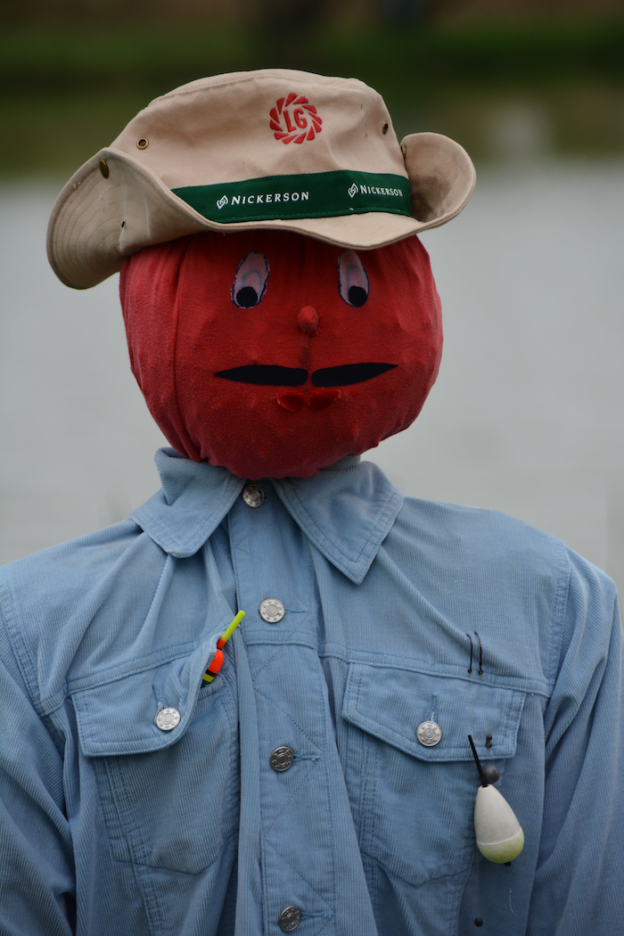
scarecrow

Day 13: Slup, Czech Republic to Poysdorf, Austria


View Larger Map

Start: Slup, Czech Republic
End: Poysdorf, Austria
Distance: 80.1km
Elevation Gain: 2120ft
Elevation Loss: 2245ft
Time: 8h23m
Reading Material: A History of the Jews – Paul Johnson; Attempting Normal – Marc Maron
Audio Material: Marketplace; Channel Orange – Frank Ocean; West – Lucinda Williams

Description
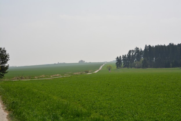
I’m getting my sea legs under me. Probably should have trained a bit before starting, but these first 12 days have done the trick. I covered 50km before lunch, aided by flat beautiful asphalt track. Supposedly, these narrow and straight tracks were created by the Soviets as a means to enforce the Czech border zone but someone has been spending time and money keeping them in great shape.

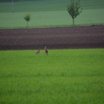
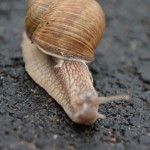
In addition to making it easy to spot humans, the tracks are favorite hangout spots for large bunny rabbits and snails. The bunnies are adept at running away from bicycles, I can’t say the same about the snails.

Transcendental moment zooming along at 35km/hr, listening to Lucinda Williams and turning my head to watch stands of trees covered in yellow leaves blur.

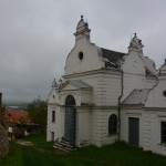
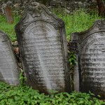
Stopped in Mikuluv for lunch and a quick tour of the local sights. After Prague, Mikuluv was the second largest Jewish community in Czech lands — nearly 50% of the town was Jewish in the 1750s. A few buildings remain along with a giant cemetery with its final burials coming from inhabitants killed in WWII.

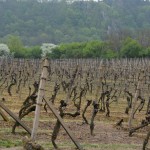
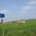
Crossed the border into Austria where the crossing (thanks to Schengen) has been dismantled and only a few abandoned buildings and a sad museum remain. European border crossings no longer involve document checks (or electrified fence, for that matter) but now they require SIM card switches and ATM runs. Accomplished both at Poysdorf, a Napa Valley for Lower Austria, before finding a place for the night.
20130502_1454_DSC_1367-reduced30

Day 12: Vranov nad Dyjí, Czech Republic to Slup, Czech Republic


View Larger Map

Start: Vranov nad Dyjí, Czech Republic
End: Slup, Czech Republic
Distance: 49.7km
Elevation Gain: 1936ft
Elevation Loss: 2340ft
Time: 5h44m
Reading Material: A History of the Jews – Paul Johnson; Attempting Normal – Marc Maron
Audio Material: none, too busy white knuckling

Description
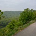
Distance covered isn’t really the best way to gauge the difficulty of a day. Today was spent traversing the Podyjí National Park and while the trails are cycling accessible, it’s much more like biking on a hiking trail for several long stretches. Some real Adventure Cycling. For the first time, I had to get off the saddle and push (uphill on a rocky section where the grade surpassed my gearing and legs; downhill over extremely steep cobbled rocks; and out of caution on a narrow suspension bridge). Many other sections featured singletrack and very careful descents. Fun but exhausting.

At one point the view opens up and you realize you have been traveling on a ridge line about 1000 feet above the river valley below. Definitely don’t want to fall here!

For the night, I followed signs to the Pension ANNA outside of Jaroslavice in Slup where I’m basically staying in the upstairs wing of an older couple’s house along with two tiny dogs. I communicated with the humans in horrible German and the dogs communicated with me in mostly aggressive barks.

20130501_1332_DSC_1266-reduced30

Day 11: Nová Bystřice, Czech Republic to Vranov nad Dyjí, Czech Republic


View Larger Map

Start: Nová Bystřice, Czech Republic
End: Vranov nad Dyjí, Czech Republic
Distance: 70.3km
Elevation Gain: 2823ft
Elevation Loss: 3491ft
Time: 7h12m
Reading Material: A History of the Jews – Paul Johnson
Audio Material: On The Media, WTF podcast (Conan O’Brien episode)

Description
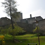
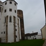
I followed the Austrian/Czech border all day today helping to impart several history lessons. First, the imposing ruins of Landštejn Castle. Originally built in the 13th century, large parts of the original castle remain standing and you are even able to climb inside the tower. Finally, a castle that felt like a castle!

Met several biking groups. Forty middle school kids on retreat from an international school in Prague. They had biked 5km to the castle had lots of questions (“how can you go so far?” “slow and steady like the tortoise”). And, a group of 20-somethings from Prague who I believe (based on their bicycles) were day touring out of Slavonice. We leapfrogged each other a few times (I’m getting good at picking up speed on slight downhills by taking advantage of the momentum from my extra 150lbs, but as soon as the hills start, it’s like lead). Saw my first two recombinant tourers going the opposite direction just past Slavonice, as well.

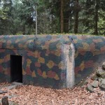
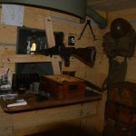
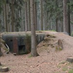
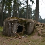
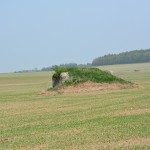
The second historical highlight was from much more recent history. A string of ~150 fortified bunkers that I passed for the full 70kms along the Austrian border. They were originally built in 1936-7 to protect Czechoslovakia from an invasion by Nazi Germany. Each bunker was self-sufficient and could protect two machine guns + a grenade launcher from large-caliber assault.

I must have passed 50 bunkers. They became easier to spot near Stálky since (bonus history lesson) the Soviet Union clear-cut the land and depopulated the border zone after the the 1968 invasion of Czechoslovakia in an attempt to keep citizens from leaving. So, if you’re keeping score at home, the bunkers were 1) never actually tested since the Western Allies abandoned the Czechs to the Nazis without a fight, and 2) were eventually put to use by the second power to invade Czechoslovakia without a fight to keep the people from escaping.

There’s a reason why Czechs don’t exactly wave at me when I bike past…

20130430_1133_DSC_1109-reduced30

Day 10: to Sezimovo Ústí, Czech Republic to Nová Bystřice, Czech Republic


View Larger Map

Start: Sezimovo Ústí, Czech Republic
End: Nová Bystřice, Czech Republic
Distance: 67.1km
Elevation Gain: 2798ft
Elevation Loss: 2097ft
Time: 7h29m
Reading Material: A History of the Jews – Paul Johnson
Audio Material: NPR’s Fresh Air

Description
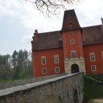
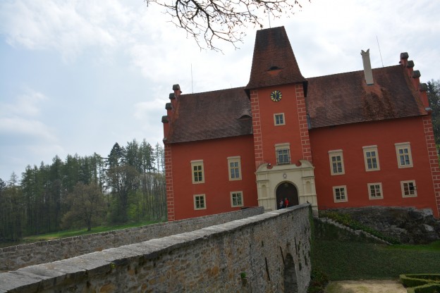
Castle me! Two nice castles passed today. One in Červená Lhota, a cute red castle across an old stone bridge. And, the other in Jindřichův Hradec at the confluence of a river and a lake. According to guide books, both are the 2nd most famous castles in the Czech Republic. Unfortunately, I was not able to tour inside either as it appears official castle tourist season starts tomorrow on May 1.

I am spending the night in Nová Bystřice right near the Austrian border. This southern region of Bohemia wants to be known as the Czech Canada. I am thinking this is a ploy to attract Canadian tourists as the landscape reminds me of many other, non-Canada places such as the Poconos, Catskills or Vermont. Though, I think Czechs are even more into hockey than Canadians. In the nearby forest, I got to zoom down through the trees on a nicely paved, narrow path. Got the rig up to 50km/h!

And, of course, just as I was feeling badass, I had my first real tumble just outside Nová Bystřice (we’re not going to count the ones where I’ve been stationary). While going uphill my chain slipped the smallest front gear and I pedaled furiously without going anywhere until the lack of momentum coupled with clipped feat caused me to lose balance. I unclipped and fell into a grass ditch a few feet below the road. Soft landing and the bike is so heavy, it just rests on the panniers and doesn’t even notice it’s fallen over. Luckily no one saw.