Tag Archives: road condition

20130727_0747_DSC_5953-reduced30

Day 55: Cherepovets, Russia to Ustyuzhna, Russia


View Larger Map

Start: Cherepovets, Russia
End: Ustyuzhna, Russia
Distance: 128.0km
Elevation Gain: 1110ft
Elevation Loss: 1216ft
Time: 7h56m
Reading Material:A World at Arms: A Global History of World War II – Gerhard L. Weinberg
Audio Material: Diane Rehm news roundups; On The Media (interview with “eclectic” Charlie Nesson!); Planet Money; Stuff You Should Know podcast; WTF podcast (Thom Yorke interview)

Description
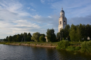
Set an aggressive distance goal and was aided by a tailwind (finally!) and nearly 100km on newly created road. I’m sure this sub-artery on the way from Cherepovets to Saint Petersburg previously existed, however, the sides of the road have been recently cleared of trees and road crews have freshly paved a long stretch. I made excellent time with smooth riding.

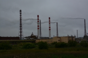
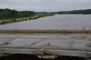
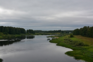
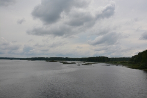
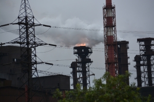
The first 15km out of Cherepovets was a huge industrial zone with smokestacks, open flames and giant buildings. Gave way to some very peaceful looking forests. Crossed the Mologa River and turned south towards Ustyuzhna to pick up road P8 which I will follow towards Veliky Novgorod. Road kharma caught up to me and the connecting piece was crumbling concrete. Hopefully the trip onward will be smooth.

Folks in Ustyuzhna were friendly with several stopping to chat from car windows and a mini-escort helping to point a place to eat and stay for the night.

20130725_0915_DSC_5888-reduced30

Day 53: Rybinsk, Russia to Poshekhonye, Russia


View Larger Map

Start: Rybinsk, Russia
End: Poshekhonye, Russia
Distance: 72.2km
Elevation Gain: 992ft
Elevation Loss: 936ft
Time: 5h16m
Reading Material:A World at Arms: A Global History of World War II – Gerhard L. Weinberg
Audio Material: Marketplace (Kai was pretty giddy about driving an RV); WTF podcast (Douglas Rushkoff interview, I haven’t read any of his books, but in the interview he comes off as a futurist of the worst kind: made up buzzwords with no elements of history or substance); World in Words; This American Life (summer camp episode; Adam Davidson’s English Israeli accent from 1998 is amazing); Acid Rap mix tape – Chance the Rapper

Description
It’s nice to escape the tourist-land of the Golden Ring. Yes, this means dilapidated roads and rough evening accommodations. But, also the freedom to spend your time finding things which aren’t important historical sights in a guidebook, markets where they keep all the merchandise behind the counter (ok, not so good for non-native speakers) and tally your total with a wooden abacus, and people who are friendly and curious about your travels (I think in the tourist zone, once the locals see thousands of foreigners disembark huge buses every day and follow a woman around with a flag everywhere they kinda lose interest in the whole species).

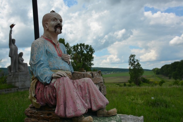
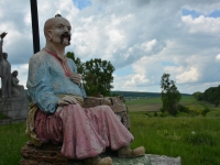
While I’ve been following the shore of the Rybinsk Reservoir all day, I actually got minimal views of the water. Lots of log cabin homes (some in excellent shape and some missing most of their structure) and several whimsical yard displays.

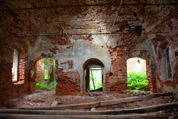
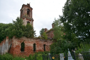
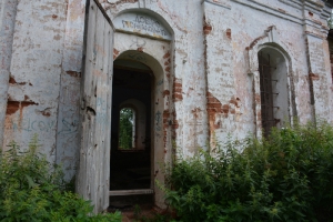
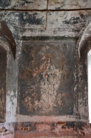
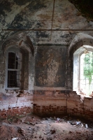
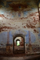
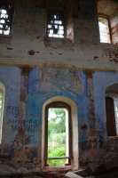
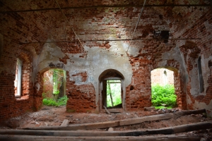
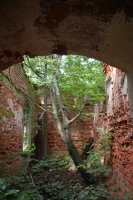
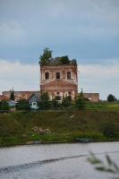
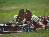
Found a real abandoned brick church and cemetery. The steeple was at 45 degrees to the ground and several trees were growing in the anteroom. Outlines of frescoes were visible along with graffiti stuck in a rut of 90s bands (was hoping the setting would have inspired something more original).

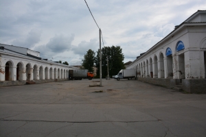
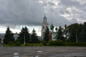
Acquired shelter for the night in the tiny village of Poshekhonye for ~$10. Town center has mostly empty trading stalls watched over by Lenin and a nice little church. Need to get some good rest as tomorrow is a lengthy day to Cherepovets.

20130602_1109_DSC_3155-reduced30

Day 28: Lviv, Ukraine to Ternopil, Ukraine


View Larger Map

Start: Lviv, Ukraine
End: Ternopil, Ukraine
Distance: 128.0km
Elevation Gain: 3248ft
Elevation Loss: 3079ft
Time: 7h58m
Reading Material: The Good Soldier Švejk – Jaroslav Hašek; Ukraine: A History, 4th Edition – Orest Subtelny
Audio Material: Diane Rehm Friday News Roundups; Bullseye with Jesse Thorn; Planet Money; Unpacking my Library – Currituck County

Description
New trip max distance day: 128km!

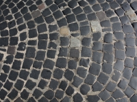
Got a nice early Sunday morning start from Lviv. This is the first city which insists on cobbling all major streets out of the metro area for a radius of nearly 5km. And, the farther you get the worse shape. Once I escaped, it was a straight-shot on the H-02 road all the way to Ternopil.

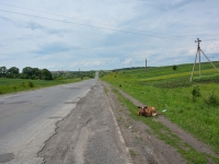
Everyone brings up the poor conditions of Ukrainian roads. But, for biking, the secondary roads really aren’t that bad. Yes, large potholes. But, on a bike, I can dodge these much easier than cars which you often see weaving at slow pace. And, today’s road featured what I can best describe as a kind of frost heave which runs longitudinally along the shoulder (as opposed to normal heaves which cross the road). Easy to avoid, but you have to choose a side and be very careful of crossing the heave. Even with these features, I averaged 17km/hr (with stops) which I consider a pretty good road.

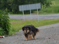
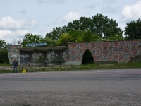
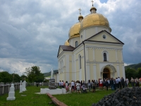
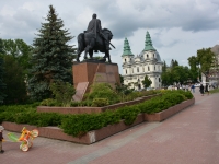
First Sunday where I saw a large number of brides out — in churches, in motorcades and (rare) making a pitstop at a desolate petrol station where I stopped to top-up on juice (grapefruit). Lots of church services. Lots of blocky concrete Soviet monuments. Also, lots of sad cows chained up along the road. And, one sad dog who was free to roam but just wanted to lie down in the grass.

A Pancho & Lefty cop team with radar gun flagged me down. I wasn’t speeding, they just wanted to say “hi” and check out where I was headed. Good English and very friendly as they wished me well on my way.

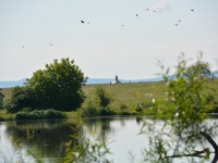
Arrived at Ternopil tired but grabbed a shower and went in search of food. Ternopil is the second largest city in Galicia (to Lviv, pop. ~200,000) and young for the region (founded 1500s). It features a large, man-made “pond” created by a big Soviet damming project. Quite pretty, actually. Ate in front of the well-known, baroque Cathedral of the Immaculate Conception of The Blessed Virgin Mary until it was time to pass out.